
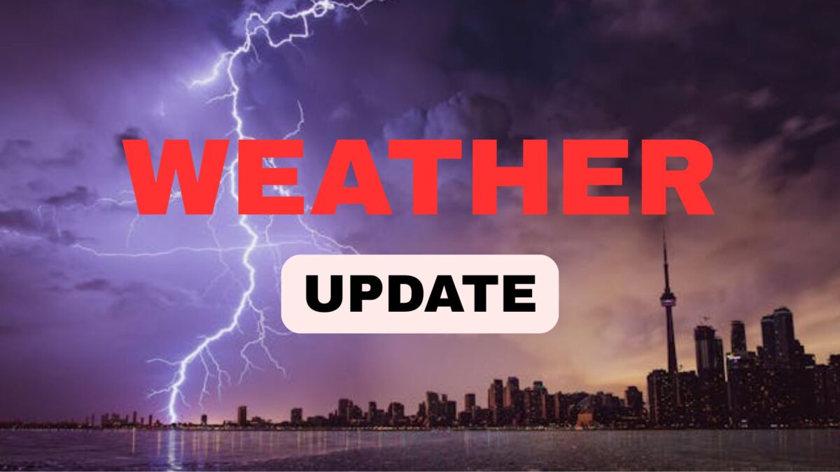
Weekend Weather Alert: Scattered Pop-Up Storms, Flooding Risk & High Heat Across North Carolina
After a stormy Thursday evening drenched much of central North Carolina, calmer skies are returning — but only briefly. The weather system responsible for Thursday’s downpours is moving offshore by Friday morning, ushering in a temporary window of calmer conditions. However, meteorologists are warning residents not to get too comfortable. 🌦️
According to ABC11 Meteorologist Steve Stewart, while much of Friday may remain dry, scattered pop-up storms could still emerge during the afternoon and evening hours, particularly near the coastal regions and in the mountains. These storms may carry gusty winds 🌬️, localized flooding 🌊, and potential damage in areas with poor drainage or already saturated ground.
North Carolina’s Ground Is Already Soaked 💧
July has been exceptionally wet across central North Carolina, leaving the region vulnerable to flash flooding with even moderate rainfall. Earlier this week, Tropical Storm Chantal brought torrential rain, resulting in road closures, submerged neighborhoods, and tragic consequences.
The Triangle area, along with Alamance, Moore, and Orange counties, declared a state of emergency following significant flooding. Unfortunately, four storm-related deaths have already been reported, underscoring the seriousness of these weather events.
Johnston County on High Alert 🚨
As of now, Johnston County remains under a Flood Warning through 1:15 a.m. Saturday. Authorities urge residents to avoid low-lying roads and remain vigilant in areas prone to flash flooding. 🌧️
Weekend Forecast: Heat & Storms Continue 🌡️⚡
Looking ahead to the weekend, the heat returns with temperatures soaring into the low 90s on both Saturday and Sunday. With this heat, instability in the atmosphere increases, paving the way for more thunderstorm development — especially during the late afternoon and early evening hours.
- Saturday: Isolated storms are expected during the late afternoon, coinciding with peak heat hours. Although these storms may not be as widespread as those seen earlier in the week, they still pose a risk of flash flooding and damaging wind gusts. ⚠️
- Sunday: More of the same — scattered thunderstorms may form in the afternoon and evening, especially in humid and elevated heat conditions. If you’re planning any outdoor activities this weekend, keep an eye on local weather updates and be prepared to seek shelter quickly.
What Should You Do This Weekend? 🧳⛱️
While the weather might not fully cooperate, you can still enjoy the weekend — just plan wisely:
- Stay weather-aware ⏰: Use a reliable weather app or tune into local news to track storm development.
- Avoid flood-prone areas 🌁: With ground saturation high, even minor storms could cause rapid flooding.
- Stay cool 😎: With temperatures in the 90s, heat exhaustion is a real risk. Hydrate frequently and avoid prolonged sun exposure.
- Adjust outdoor plans 🌤️: Morning hours will likely be the safest for outdoor activities.
Conclusion: Eyes on the Sky This Weekend 👀🌦️
North Carolina residents can expect a hot and stormy weekend, with afternoon thunderstorms continuing to threaten local areas, particularly low-lying and poorly drained regions. Even with some breaks in the rain, don’t let your guard down. The atmosphere remains volatile, and pop-up storms could turn dangerous fast. 🌪️
Whether you’re heading to the beach or just relaxing at home, make weather awareness part of your weekend routine.
🔍 FAQs
Q1: Will the whole weekend be rainy?
A: Not entirely. While there are chances of storms each afternoon and evening, mornings are expected to remain mostly dry.
Q2: Are the storms going to be severe?
A: Some could be. Especially in already flooded or low-lying areas, the storms may produce gusty winds and flash flooding.
Q3: Is it safe to travel this weekend in NC?
A: It depends. If you’re driving through flood-prone areas or during storm hours, it’s best to delay travel or proceed with caution.
Q4: Why is flooding such a concern right now?
A: July has brought unusually heavy rainfall, saturating the soil and increasing the risk of quick flooding, even with light or moderate storms.

