
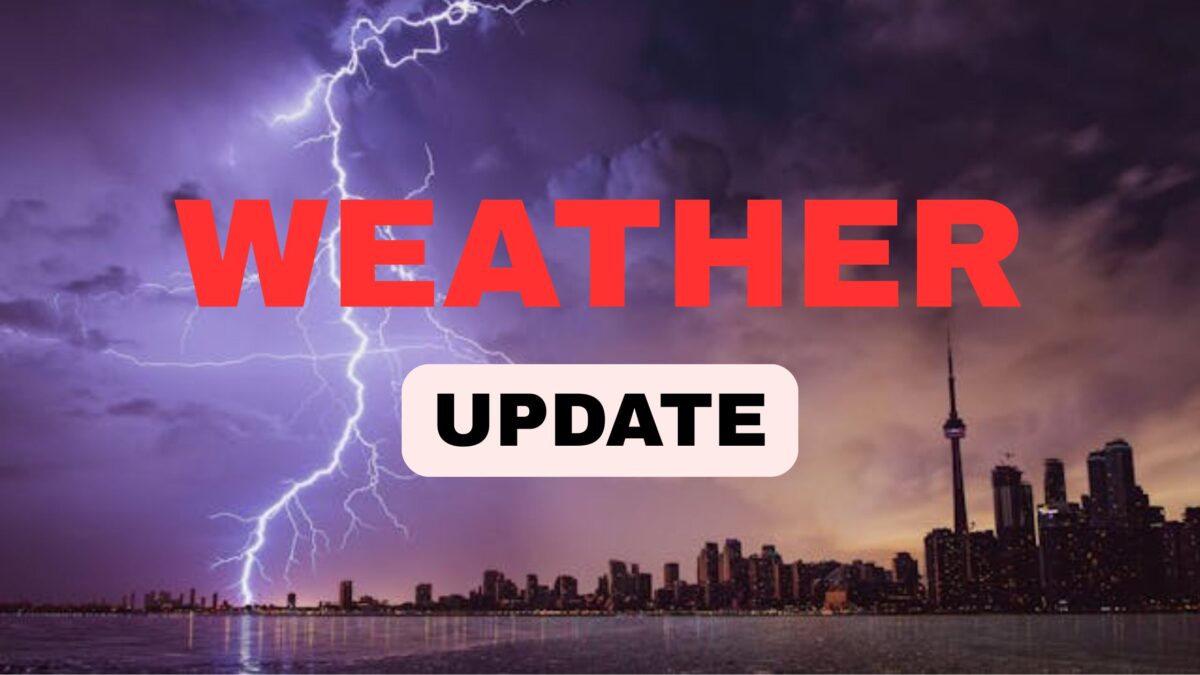
North Carolina Weather Alert: Flooding & Thunderstorm Risk Through Tuesday — What to Expect
Central North Carolina is in for a turbulent weather shift as the week begins, with scattered thunderstorms ⛈️ and potential flooding threatening the region late Monday and into early Tuesday. A mix of high energy and humid air 🌡️ will be the perfect recipe for severe weather, particularly impacting counties already waterlogged by Tropical Storm Chantal.
⏰ Timing the Storms: When Will the Weather Hit?
Expect the storms to begin developing by late Monday afternoon, initially forming in the western part of the state before gradually drifting eastward. As the day progresses, these systems will intensify and may hit their peak in the evening hours, bringing localized heavy rainfall 🌧️, thunder, and lightning.
Not all regions will be impacted equally — some neighborhoods could experience torrential rainfalls, while others may see minimal precipitation. However, residents of Cumberland and Bladen counties should be especially cautious, as a Flood Warning ⚠️ remains in effect until Tuesday at 2 a.m.
🌧️ Flooding Concerns Escalate as Rain Continues
The soil saturation caused by Tropical Storm Chantal has left many parts of North Carolina vulnerable. With the ground already soaked, even a short duration of heavy rainfall could lead to flash flooding 💧.
Low-lying areas, urban zones with poor drainage, and neighborhoods near creeks or rivers are particularly at risk. Local officials urge residents to avoid flooded roads, heed all warnings, and stay updated with weather alerts 📲 throughout the evening and into Tuesday morning.
🌡️ Monday’s Forecast: Hot, Humid & Unpredictable
Before the storms strike, most of Monday will offer a deceptively calm mix of sun and clouds 🌤️. Temperatures are expected to hover near 90°F, which is slightly cooler than recent highs but still typical for this time of the year. The air will remain humid and sticky, increasing the likelihood of storm development as energy builds through the afternoon.
🔮 What’s Ahead: Midweek Frontal Boundary May Prolong Wet Weather
Looking beyond Monday, the unsettled weather pattern won’t let up easily. A frontal boundary is expected to creep toward the Appalachian region by midweek, acting as another catalyst for scattered storms and persistent rain 🌧️.
While thunderstorms will be more isolated across the eastern lowlands on Tuesday, the humidity won’t subside anytime soon 🥵. Cloud cover will increase significantly as the front approaches, setting the stage for continued unsettled weather through midweek.
🛑 Safety First: How to Prepare for the Storms
With flash flooding, gusty winds, and lightning possible, here are a few essential tips to stay safe:
- ✅ Stay indoors during thunderstorm activity.
- ✅ Avoid flooded areas and never drive through standing water.
- ✅ Charge your devices 🔋 in case of power outages.
- ✅ Keep an emergency kit ready with food, water, flashlight, and batteries.
- ✅ Stay informed with local weather apps and alerts.
🧠 FAQs – Your Questions Answered
Q1. When will the storms start in North Carolina?
👉 Expect storms to begin late Monday afternoon and grow stronger into the evening.
Q2. Is there a flood warning in effect?
👉 Yes, a Flood Warning is active for Cumberland and Bladen counties until 2 a.m. Tuesday.
Q3. Will Tuesday be stormy as well?
👉 Yes, scattered storms are expected, especially in the afternoon, as a frontal boundary nears the region.
Q4. What are the main risks from this storm system?
👉 Primary threats include flash flooding, strong winds 🌬️, and dangerous lightning strikes ⚡.
Q5. Is it safe to travel during these storms?
👉 Travel is not recommended during severe weather. If you must go out, use extreme caution and avoid flooded roads.
✅ Conclusion
As stormy weather grips Central North Carolina, it’s important to stay vigilant, informed, and prepared. While the sun may peek out early Monday, don’t be fooled — the real threat lies in the evening when thunderstorms intensify and flooding risks escalate. With a frontal system approaching midweek, the wet pattern may continue, making this a week to stay weather-aware. 🌩️

