
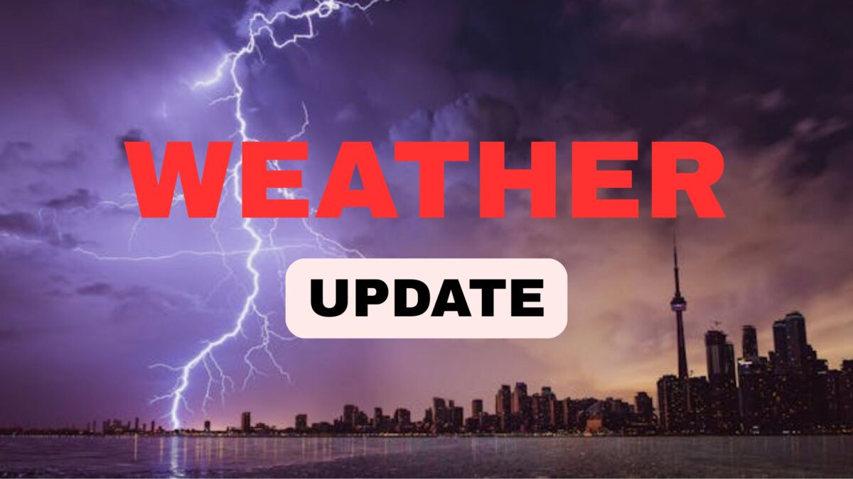
🌩️Central North Carolina Weather Alert: Scattered Storms & Sizzling Heat Expected This Weekend (July 12–14, 2025)
Central North Carolina residents, brace yourself for a hot and stormy weekend ahead! 🌧️🔥 Whether you’re in Raleigh, Durham, Fayetteville, or anywhere in the Triangle, scattered thunderstorms are set to roll in, accompanied by high humidity and temperatures in the low 90s.
🌦️Weekend Weather Forecast: Scattered Storms and Sizzling Temps
As we move into the weekend, Saturday and Sunday (July 12–13) will bring scattered thunderstorms⛈️—especially during the afternoon and evening hours. While Saturday will see isolated cells popping up, Sunday is expected to bring more widespread coverage of thunderstorms, increasing the risk of flash flooding in areas already saturated from recent rain.
Temperatures will hold steady, with daytime highs reaching the low 90s 🌡️ and heat indexes pushing even higher due to high humidity levels. If you’re planning outdoor activities, stay weather-aware and prepare for sudden storm development in the afternoon.
🌊Flash Flooding Follows Storm Chantal’s Wake
This weekend’s forecast comes just days after Tropical Storm Chantal moved through the region, dropping heavy rain across central North Carolina and the Triangle. 🚧 Several roads were closed due to flash flooding, and many areas are still recovering from the aftermath.
With ground conditions still saturated, even moderate rainfall this weekend could lead to renewed flash flood risks in low-lying or poorly drained areas. ⚠️
🌀Looking Ahead: Storm System & Cold Front Moving In
As we enter early next week, attention shifts to a new storm system developing over southern Canada and the Great Lakes, bringing a cold front into the mix. This front is forecast to move into central North Carolina by Monday (July 14) and will trigger widespread thunderstorms, potentially more intense than over the weekend.
These Monday storms could bring damaging winds 💨 and flash flooding, especially in already vulnerable locations.
⛈️Extended Rain Chances: Tuesday & Wednesday Stay Wet
The rainy trend continues into Tuesday and Wednesday (July 15–16), with a high probability of widespread thunderstorm activity. While the cold front brings some atmospheric change, temperatures will remain warm and humid—hallmarks of a typical southern summer.
Don’t expect major relief in terms of temperatures. Instead, muggy conditions persist, with highs still hovering around 90°F.
🌴Tropical Moisture May Bring More Rain Later in the Week
As the week progresses, tropical moisture streaming up from the Gulf or Atlantic could bring additional rounds of showers and thunderstorms. If this tropical feed intensifies, expect heavier downpours 🌧️, increased humidity, and localized flooding risks to persist into Thursday and Friday (July 17–18).
⚠️What You Should Do to Stay Safe
- 📲 Stay updated with local weather alerts via apps or NOAA weather radio
- ☔ Have umbrellas and rain gear handy if you’re stepping out
- 🚗 Avoid flooded roads, especially in areas known for flash flooding
- 🌬️ Secure outdoor furniture to prevent wind damage during storms
- 🌡️ Hydrate well and limit outdoor exposure during peak heat hours
❓FAQs About Central NC Weekend Weather
Q1. Will the storms be severe?
While most storms will be garden-variety thunderstorms, there is a potential for severe weather on Monday, including damaging winds and localized flooding.
Q2. Is flooding still a concern?
Yes, especially in low-lying and already saturated areas. Recent rain from Tropical Storm Chantal has elevated the flash flood risk.
Q3. What time of day will storms likely develop?
Most thunderstorm activity is expected in the afternoon and evening hours, peaking between 2 PM and 8 PM.
Q4. Will it cool down after the cold front?
Not significantly. Despite the passing front, temperatures will remain in the upper 80s to low 90s with continued high humidity.
Q5. Should I cancel outdoor weekend plans?
Not necessarily. Plan with flexibility, and be prepared to shelter during afternoon storms. Morning hours may remain mostly dry.
✅Conclusion: Stay Weather-Ready Across Central NC
The next several days bring a mixed bag of summer heat, storm threats, and elevated flood risks for central North Carolina. While no single day looks like a complete washout, the unsettled pattern through July 18th means you’ll need to monitor forecasts regularly, stay cool, and stay safe. 🌧️⚡

